Paths in GTA V
Paths are nodes (single points) and links (connections between two points) on the game map. In GTA V, they can be found in a file named paths.ipl. Overall, paths in GTA V are similar to paths in GTA IV and paths in GTA SA.
Overview
In total, GTA V's paths.ipl contains 74,530 nodes and 77,934 links. Each node has 22 values (x, y, z coordinates and 19 flags), each link has 6 values (2 node ids and 4 flags). Coordinates are floats, representing meters, with North Yankton included in the south-west corner of the map, and node ids are integers, referencing index positions in the node list. While the meaning of several flags has been discovered, the purpose of most of this data is still unknown.
Analysis
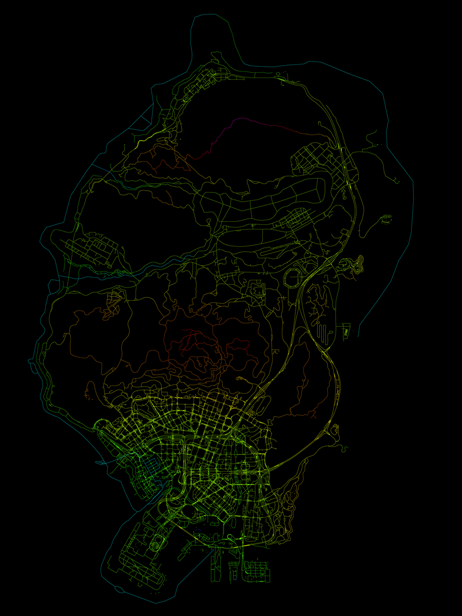
For both nodes and links, the data for each of their flags can be plotted as a map, with different colors for different values. A set of such images is publicly available (ZIP, 23 PNGs, 42 MB).
Node flags:

Nodes in GTA V
 0: 0 (enabled) or 1 (disabled)
 1: 0 (land), 1 (water)
 2: unused
 3: 0, 1, 2, or 3 - Speed
 4: 0 (normal), 2 (unknown), 10 (pedestrian),
    14 (interior), 15 (stop), 16 (stop),
    17 (stop), 18 (pedestrian), 19 (restricted)
 5: density (divided by 15)
 6: street name hash
 7: 0 (road) or 1 (highway or interior)
 8: 0/1 (bool) GPS enabled
 9: 0/1 (bool) tunnel
10: unused
11: 0/1 (bool) cannot go left
12: 0/1 (bool) left turn only
13: 0/1 (bool) off road
14: 0/1 (bool) cannot go right
15: 0/1 (bool) no big vehicles
16: 0/1 (bool) indicate keep left
17: 0/1 (bool) indicate keep right
18: 0/1 (bool) slip lane
Link flags:

Links in GTA V
0: width 1..10 or -1 or -10
1: lanes in  (lanes from source to target)
2: lanes out (lanes from target to source)
3: 0 (unknown), 1 (unknown), 2 (unknown),
   3 (unknown), 4 (unknown), 5 (unknown),
   8 (lane change), 9 (lane change),
   10 (street change), 17 (street change),
   18 (unknown), 19 (street change)
lanes_in and lanes_out dictate whether a road is one way or two way. By default lanes_in is 2, and lanes_out is 0. This is a one-way, 2 lane road in the direction of source to target. A road with lanes_in 1, lanes_out 1 is a 2 way single lane road etc. etc. Maximum lanes is 6.