Cloudkit01 (talk | contribs) No edit summary |
|||
| (35 intermediate revisions by 13 users not shown) | |||
| Line 1: | Line 1: | ||
| + | {{Infobox road |
||
| − | [[File:Getalife-building.jpg|thumb|180px|Bismark Avenue south of the "[[GetaLife Building|GetaLife" building]].]] |
||
| + | |image = |
||
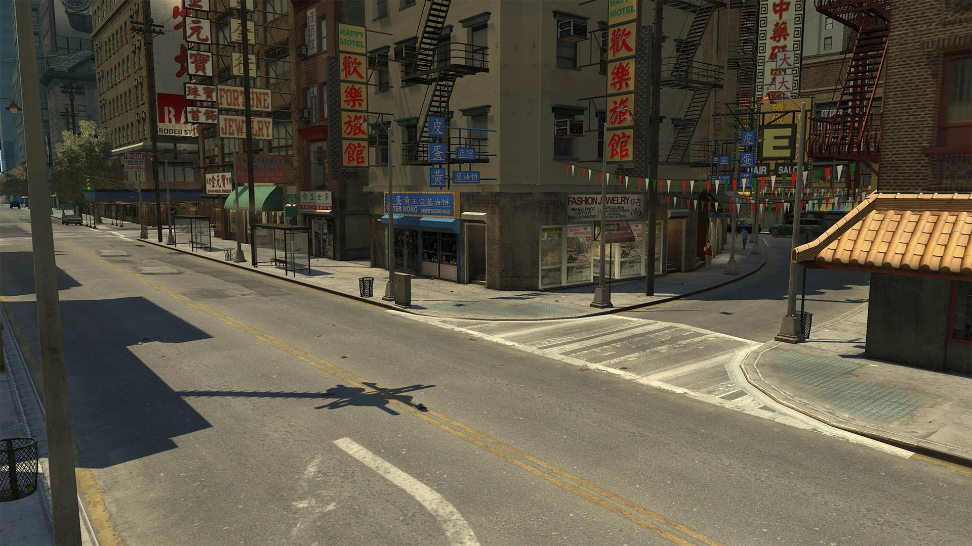
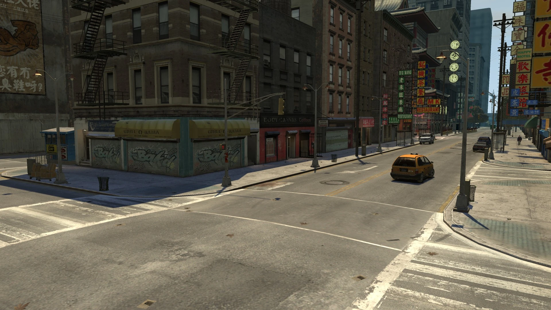
| − | '''Bismarck Avenue''' is one of seven major north-south avenues in [[Algonquin]], [[Liberty City in GTA IV Era|Liberty City]]. It's probably based on [[wp:Park Avenue|Park Avenue]], being a two-lane street in its central run and stopping in front of the [[GetaLife Building]], and continues after the [[Grand Easton Terminal]]. It stretches for 19 blocks, from [[East Holland]] in [[Uptown Algonquin]] down to [[The Exchange]]/[[Castle Gardens]] borders in [[Downtown Algonquin]]. It passes through the neighborhoods of [[East Holland]], [[Lancaster]], [[Middle Park East]], [[Hatton Gardens]], [[Lancet]], [[Easton]], [[Lower Easton]], [[Chinatown, Algonquin|Chinatown]] and [[The Exchange]]. The street is not used in any mission except [[Blood Brothers]]. However, an [[NRG 900]] can be stolen for [[Stevie's Car Thefts]]. |
||
| + | <gallery> |
||
| + | BismarckAvenue-GTAIV-South.jpg|North |
||
| + | BismarckAvenue-GTAIV-North.jpg|South |
||
| + | </gallery> |
||
| + | |games = ''[[Grand Theft Auto IV]]''<br>''[[Grand Theft Auto: Chinatown Wars]]'' |
||
| + | |start = [[Vauxite Street]]/[[San Juan Road]]/[[Walnut Way]] in [[East Holland]]. |
||
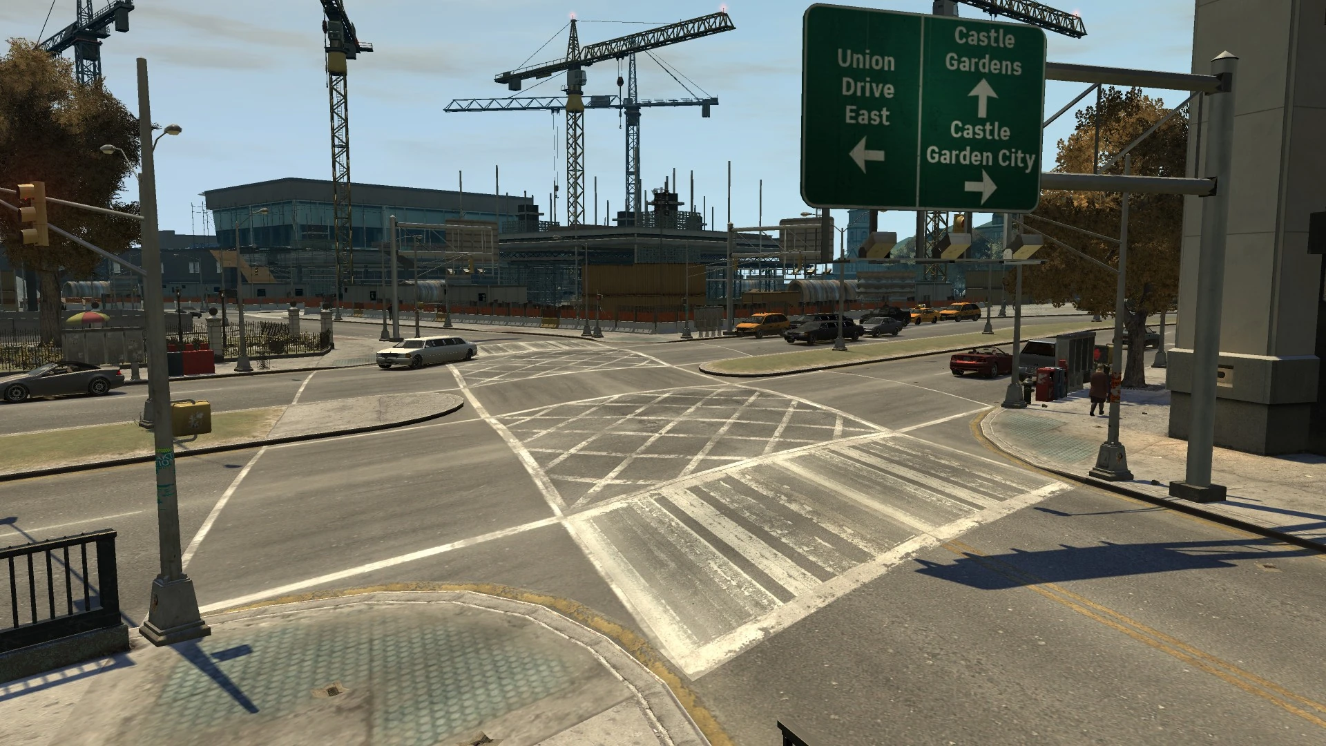
| + | |end = [[South Parkway]] in [[The Exchange]]. |
||
| + | |pscanner = [[File:PoliceScanner-GTAIV-Streets-BismarckAvenue.ogg|150px|center|noicon]] |
||
| + | |map = BismarckAvenue-GTAIV-Map.png |
||
| + | |mapcaption = Location on the map (red) in ''[[Grand Theft Auto IV]]''. |
||
| + | |map2 = BismarckAvenue-GTACW-Map.png |
||
| + | |mapcaption2 = Location on the map (red) in ''[[Grand Theft Auto: Chinatown Wars]]''. |
||
| + | }} |
||
| + | '''Bismarck Avenue''' is an [[List of Street Names|avenue]] in ''[[Grand Theft Auto IV]]'' and ''[[Grand Theft Auto: Chinatown Wars]]'', located in [[Algonquin]], [[Liberty City]]. |
||
| + | |||
| + | ==Description== |
||
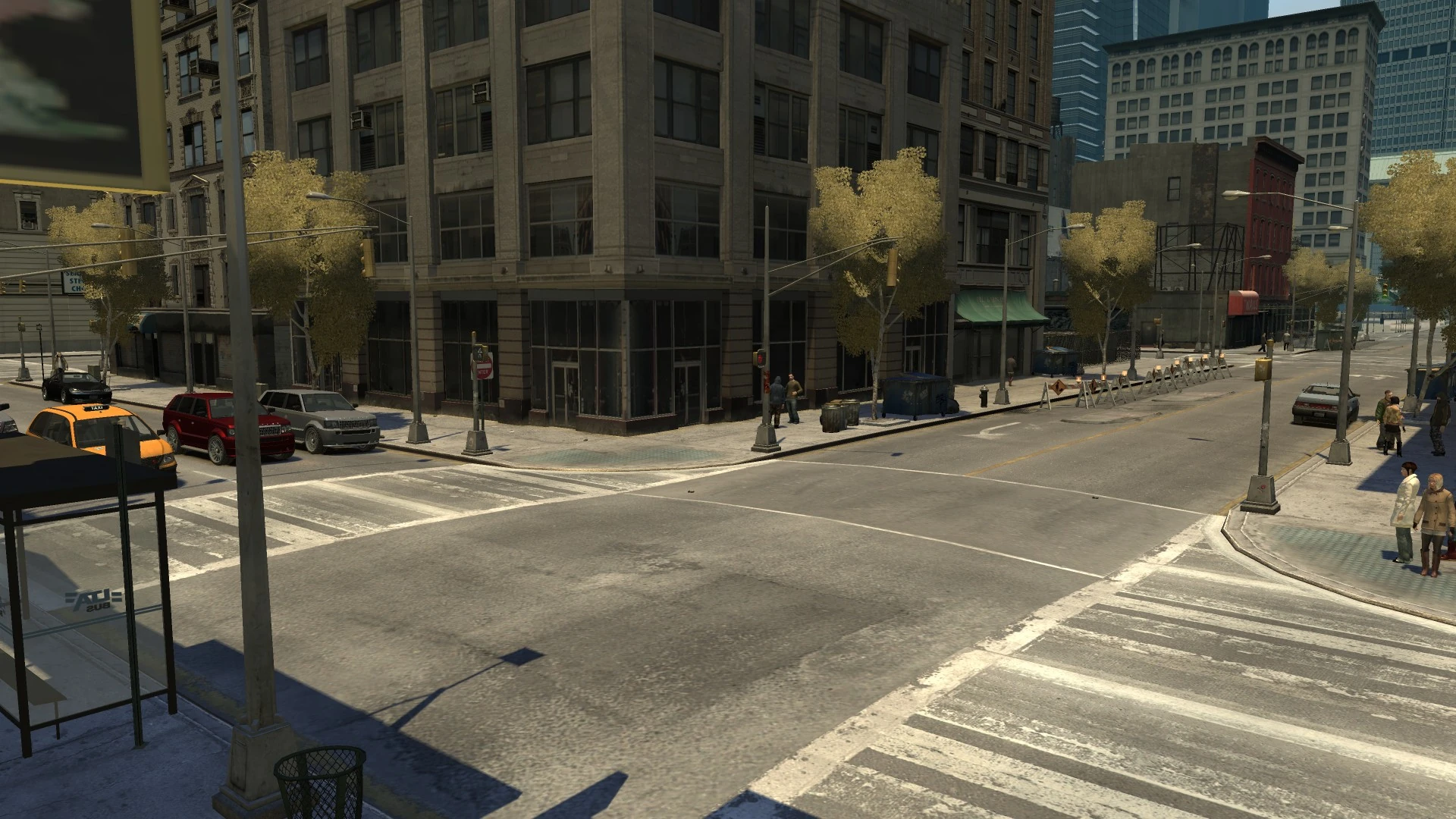
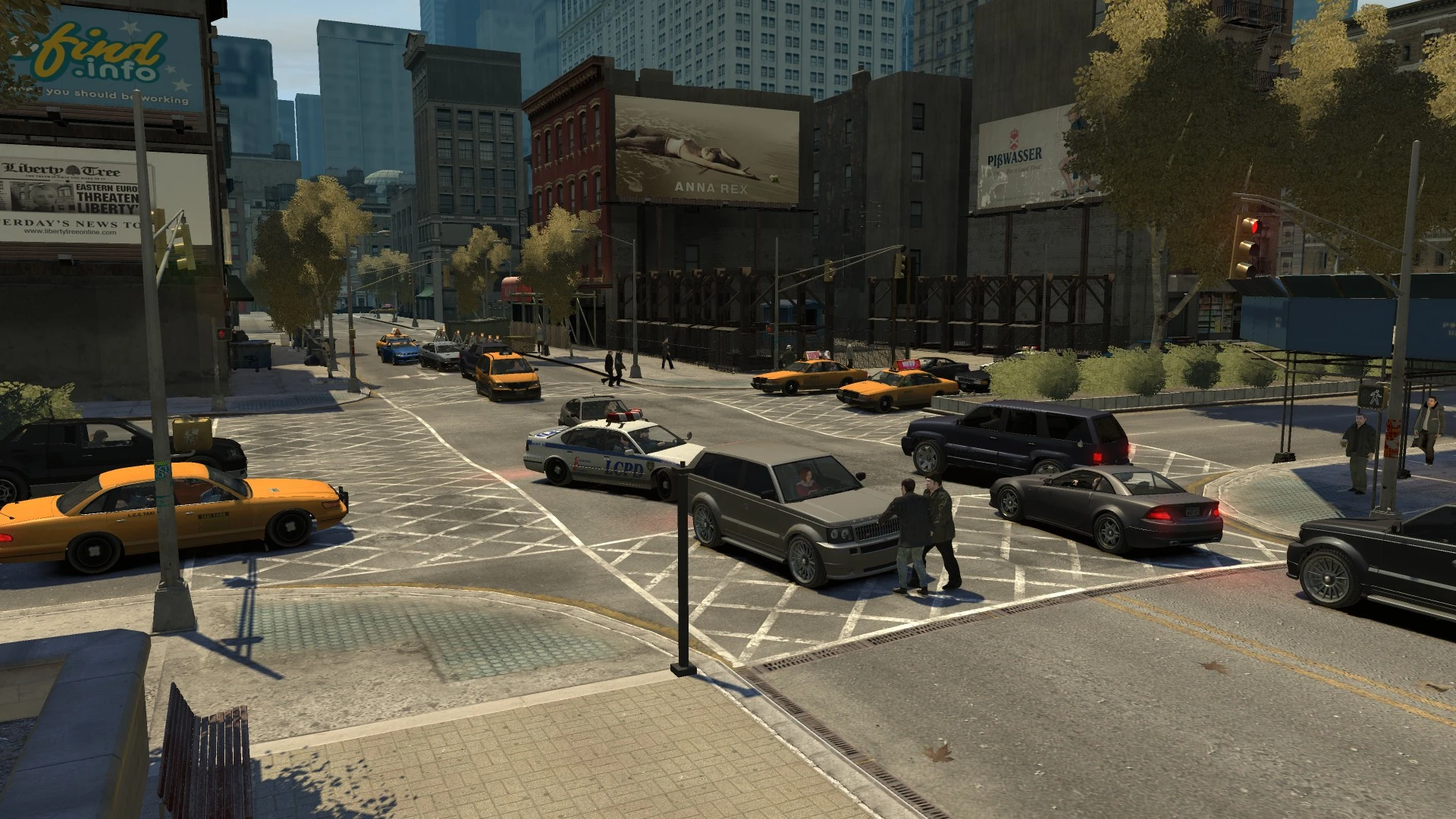
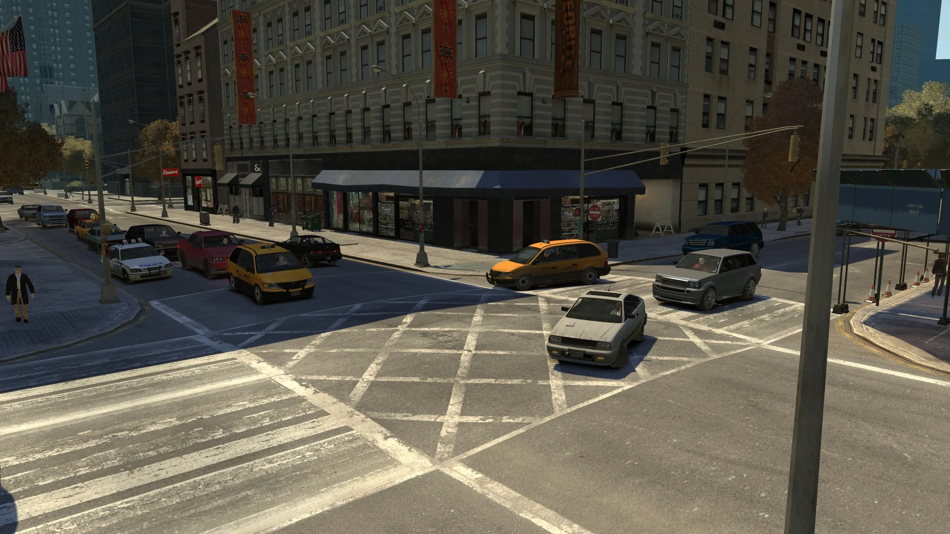
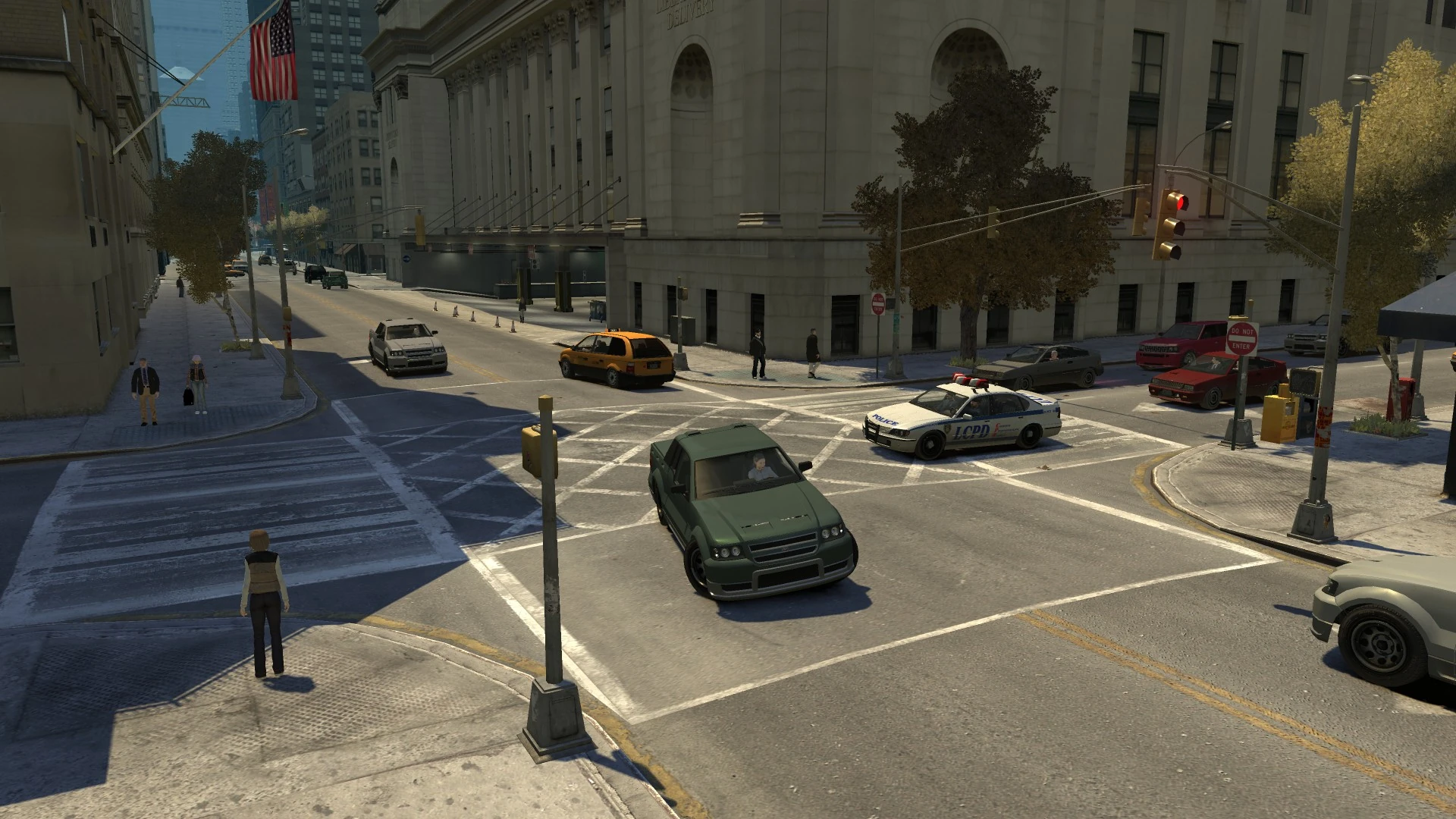
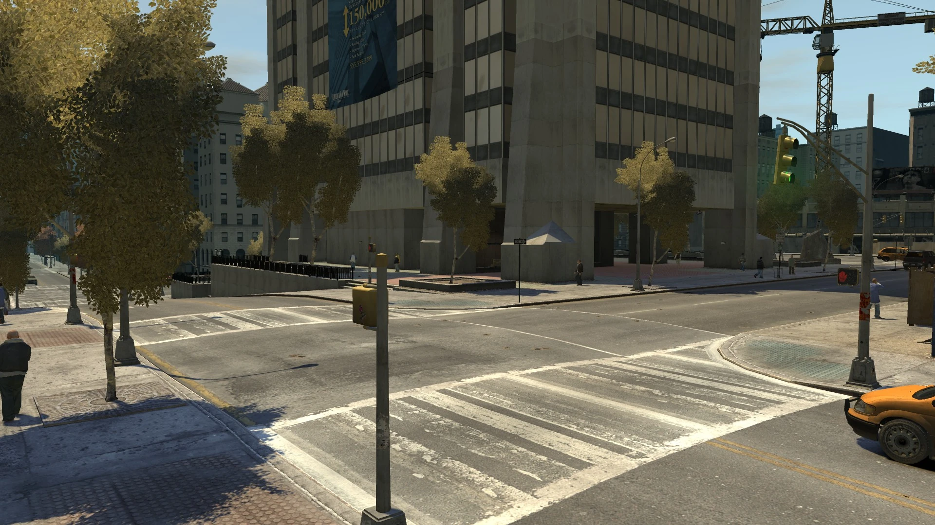
| + | The avenue starts in the north at an intersection with [[Vauxite Street]], [[Walnut Way]] and [[San Juan Road]] in [[East Holland]], and runs directly south, passing through the areas of [[Lancaster]], [[Middle Park East]], [[Hatton Gardens]], [[Lancet]], [[Easton]], [[Lower Easton]], [[Chinatown]] and coming to an end at an intersection with [[South Parkway]] running along the edge of [[The Exchange]] and [[Castle Gardens]]. |
||
| + | |||
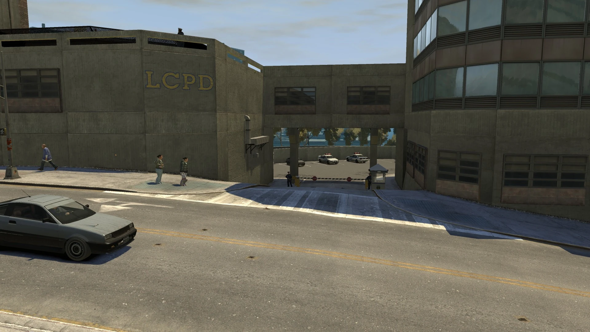
| + | [[File:BismarckAvenue-GTAIV-PoliceStation.jpg|thumb|right|270px|[[East Holland Police Station]].]] |
||
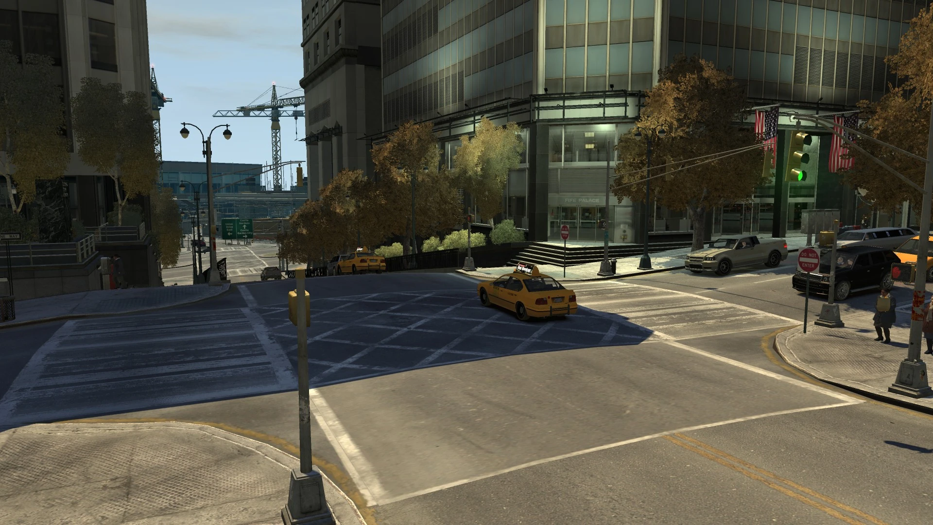
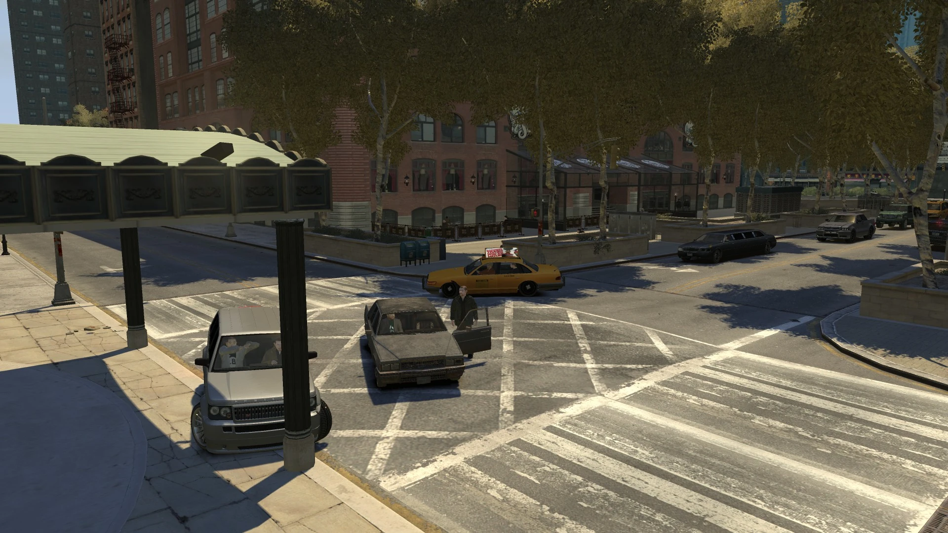
| + | [[File:BismarckAvenue-GTAIV-GrandEastonStation.jpg|thumb|right|270px|View of [[Grand Easton Terminal]] from the south with the [[GetaLife Building]] looming over it.]] |
||
| + | Along the road are various landmarks, buildings and features, including [[Cleethorpes Tower]], [[Columbus Cathedral]], [[Zirconium Building]], [[Grand Easton Terminal]] and [[GetaLife Building]]. It also runs past an intersection with [[Kunzite Street]] which connects to the [[Algonquin Bridge]]. |
||
| + | |||
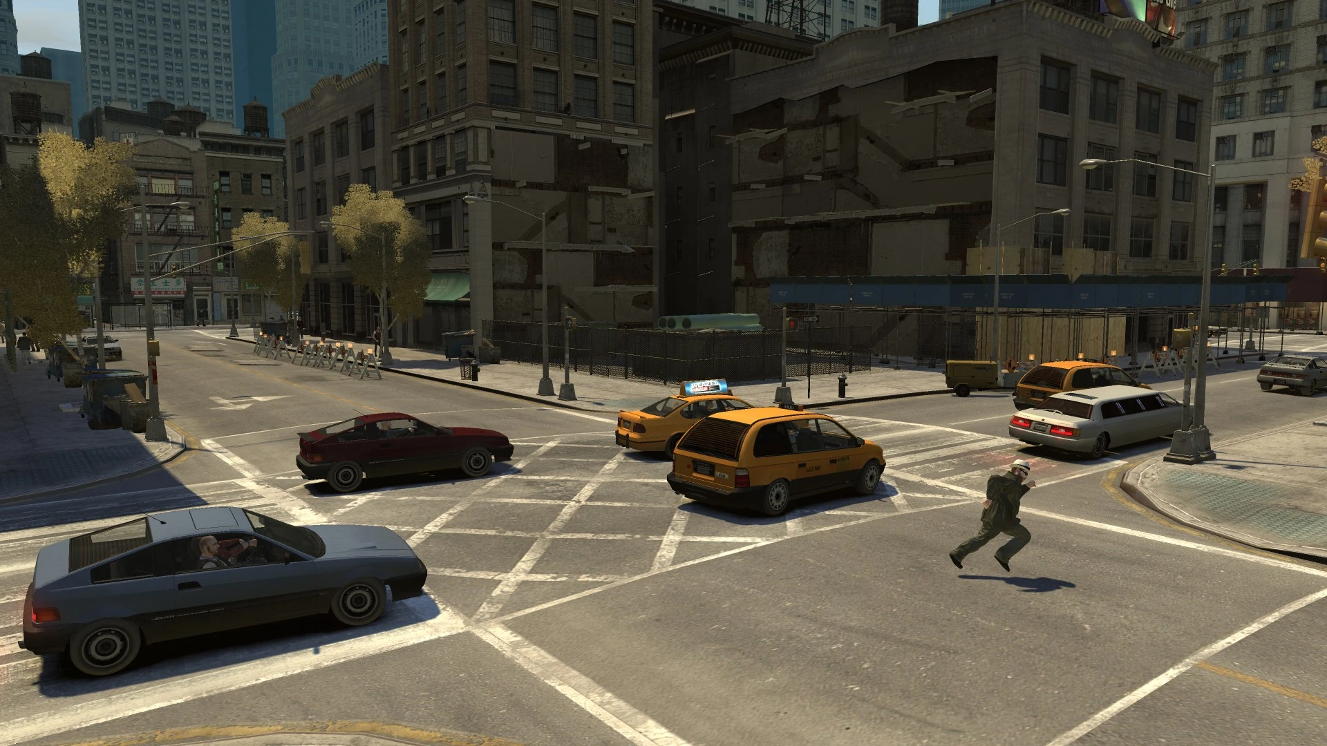
| + | At the northern end of the road, the avenue has has access to the west entrance of the [[East Holland Police Station]]. After the intersection at [[Manganese Street]] adjacent to the Columbus Cathedral, the road is divided in two with decorative trees running down the center of the road, akin to the real-life Park Avenue in New York City along this particular stretch. This continues until reaching the north side of the [[Grand Easton Terminal]] where a large sculpture presents the termination of the road on [[Jade Street]]. The road continues almost completely inline at the other side of the station on [[Hematite Street]]. At [[Emerald Street]], the road once again shifts slightly east continuing on through [[Chinatown]] toward [[The Exchange]] where it terminates on a steep slope at [[South Parkway]]. The road continues onto [[Flatfish Place]]. |
||
| + | |||
| + | The entire street is a 2-lane road flowing in both directions and connects to 23 streets - almost all horizontal streets of the [[Algonquin]] [[List of Street Names|alphabetical system]], namely [[Amethyst Street|A]], [[Barium Street|B]], [[Calcium Street|C]], [[Diamond Street|D]], [[Emerald Street|E]], [[Feldspar Street|F]], [[Garnet Street|G]], [[Hematite Street|H]], [[Jade Street|J]], [[Kunzite Street|K]], [[Lorimar Street|L]], [[Manganese Street|M]], [[Nickel Street|N]], [[Obsidian Street|O]], [[Pyrite Street|P]], [[Quartz Street|Q]], [[Ruby Street|R]], [[Silicon Street|S]] and [[Topaz Street|T]], [[Uranium Street|U]] and [[Vauxite Street|V]], missing out letter [[Iron Street|I]], and falling short of [[Wardite Street|W]] and [[Xenotime Street|X]]. |
||
| + | |||
| + | While its stretch is technically longer than both [[Albany Avenue]] and [[Columbus Avenue]] - the second and first longest, respectively, Bismarck Avenue is broken up into 3 "sections" and, even when combined, only places third.<ref>[[File:BismarckAvenue-GTAIV-ComparisonLength.png|thumb|left|300px|A comparison between Bismarck Avenue and other avenues in length. Blue illustrates the original stretch of Bismarck Avenue, while red indicates a "compressed" stretch (excluding gaps), placed next to Columbus Avenue (left) and Albany Avenue (right) for comparison in length.]]{{Clr}}</ref> |
||
| + | |||
| + | It is likely based on Manhattan's [[wp:Park Avenue (Manhattan)|Park Avenue]], given where it passes through, particularly in the [[Lower Easton]] area of Algonquin, which appears to be based on Park Avenue's notable Grand Central Terminal stretch. |
||
| + | |||
| + | {{Clr}} |
||
| + | ==Intersections== |
||
| + | {| class="wikitable" |
||
| + | !Location |
||
| + | !Type |
||
| + | !Road |
||
| + | !Direction |
||
| + | !Image(s) |
||
| + | |- |
||
| + | | rowspan="3"|[[The Exchange (district)|The Exchange]] |
||
| + | |{{jmark|rb}} |
||
| + | |[[South Parkway]] |
||
| + | |e/b toward [[Union Drive East]]<br />w/b toward [[Denver Avenue]] & [[Union Drive West]] |
||
| + | |[[File:BismarckAvenue-GTAIV-SouthParkway.jpg|thumb|center|220px]] |
||
| + | |- |
||
| + | |{{jmark|rs}} |
||
| + | |[[Amethyst Street]] |
||
| + | |e/b toward [[Albany Avenue]] |
||
| + | |[[File:BismarckAvenue-GTAIV-AmethystStreet.jpg|thumb|center|220px]] |
||
| + | |- |
||
| + | |{{jmark|rs}} |
||
| + | |[[Barium Street]] |
||
| + | |w/b toward [[Denver Avenue]] |
||
| + | |[[File:BismarckAvenue-GTAIV-BariumStreet.jpg|thumb|center|220px]] |
||
| + | |- |
||
| + | |rowspan="4"|[[Chinatown, Algonquin|Chinatown]] |
||
| + | |{{jmark|rs}} |
||
| + | |[[Calcium Street]] |
||
| + | |e/b toward [[Borlock Road]] |
||
| + | |[[File:BismarckAvenue-GTAIV-CalciumStreet.jpg|thumb|center|220px]] |
||
| + | |- |
||
| + | |{{jmark|rs}} |
||
| + | |[[Diamond Street]] |
||
| + | |w/b toward [[Liberty Lane]] |
||
| + | |[[File:BismarckAvenue-GTAIV-DiamondStreet.jpg|thumb|center|220px]] |
||
| + | |- |
||
| + | |{{jmark|rs}} |
||
| + | |[[Cavity Lane]] |
||
| + | |w/b toward [[Wong Way]] |
||
| + | |[[File:BismarckAvenue-GTAIV-CavityLane.jpg|thumb|center|220px]] |
||
| + | |- |
||
| + | |{{jmark|re}} |
||
| + | |[[Emerald Street]] |
||
| + | |e/b toward [[Privateer Road]] |
||
| + | |[[File:BismarckAvenue-GTAIV-EmeraldStreet2.jpg|thumb|center|220px]] |
||
| + | |- |
||
| + | | rowspan="1"|[[Chinatown, Algonquin|Chinatown]] |
||
| + | |{{jmark|rb}} |
||
| + | |[[Emerald Street]] |
||
| + | |e/b toward [[Privateer Road]] |
||
| + | |[[File:BismarckAvenue-GTAIV-EmeraldStreet.jpg|thumb|center|220px]] |
||
| + | |- |
||
| + | | rowspan="2"|[[Lower Easton]] |
||
| + | |{{jmark|rs}} |
||
| + | |[[Feldspar Street]] |
||
| + | |w/b toward [[Union Drive West]] |
||
| + | |[[File:BismarckAvenue-GTAIV-FeldsparStreet.jpg|thumb|center|220px]] |
||
| + | |- |
||
| + | |{{jmark|rs}} |
||
| + | |[[Garnet Street]] |
||
| + | |e/b toward [[Union Drive East]]<br />w/b toward [[Castle Drive]] & [[Union Drive West]] |
||
| + | |[[File:BismarckAvenue-GTAIV-GarnetStreet.jpg|thumb|center|220px]] |
||
| + | |- |
||
| + | | rowspan="1"|[[Easton]] |
||
| + | |{{jmark|re}} |
||
| + | |[[Hematite Street]] |
||
| + | |e/b toward [[Albany Avenue]] & [[Leaper's Bridge]]<br />w/b toward [[Union Drive West]]. |
||
| + | |[[File:BismarckAvenue-GTAIV-HematiteStreet.jpg|thumb|center|220px]] |
||
| + | |- |
||
| + | | rowspan="1"|[[Easton]] |
||
| + | |{{Jmark|rb}} |
||
| + | |[[Jade Street]] |
||
| + | |e/b toward [[Albany Avenue]]. Terminates and continues at [[Hematite Street]]. |
||
| + | |[[File:BismarckAvenue-GTAIV-JadeStreet.jpg|thumb|center|220px]] |
||
| + | |- |
||
| + | | rowspan="1"|[[Lancet]] |
||
| + | |{{jmark|rs}} |
||
| + | |[[Algonquin Bridge]] & [[Kunzite Street]] |
||
| + | |e/b toward [[Algonquin - Dukes Expressway]], [[Dukes Boulevard]] & [[Munsee Avenue]] |
||
| + | |[[File:BismarckAvenue-GTAIV-KunziteStreet.jpg|thumb|center|220px]] |
||
| + | |- |
||
| + | | rowspan="2"|[[Hatton Gardens]] |
||
| + | |{{jmark|rs}} |
||
| + | |[[Lorimar Street]] |
||
| + | |w/b toward [[Galveston Avenue]] & [[West Way]] |
||
| + | |[[File:BismarckAvenue-GTAIV-LorimarStreet.jpg|thumb|center|220px]] |
||
| + | |- |
||
| + | |{{jmark|rs}} |
||
| + | |[[Manganese Street]] |
||
| + | |e/b toward [[Albany Avenue]] & [[Union Drive East]] |
||
| + | |[[File:BismarckAvenue-GTAIV-ManganeseStreet.jpg|thumb|center|220px]] |
||
| + | |- |
||
| + | | rowspan="3"|[[Middle Park East]] |
||
| + | |{{jmark|rs}} |
||
| + | |[[Nickel Street]] |
||
| + | |w/b toward [[Union Drive West]] |
||
| + | |[[File:BismarckAvenue-GTAIV-NickelStreet.jpg|thumb|center|220px]] |
||
| + | |- |
||
| + | |{{jmark|rs}} |
||
| + | |[[Obsidian Street]] |
||
| + | |e/b toward [[Union Drive East]] |
||
| + | |[[File:BismarckAvenue-GTAIV-ObsidianStreet.jpg|thumb|center|220px]] |
||
| + | |- |
||
| + | |{{jmark|rs}} |
||
| + | |[[Pyrite Street]] |
||
| + | |w/b toward [[Columbus Avenue]] |
||
| + | |[[File:BismarckAvenue-GTAIV-PyriteStreet.jpg|thumb|center|220px]] |
||
| + | |- |
||
| + | | rowspan="4"|[[Lancaster]] |
||
| + | |{{jmark|rs}} |
||
| + | |[[Quartz Street]] |
||
| + | |e/b toward [[Albany Avenue]] |
||
| + | |[[File:BismarckAvenue-GTAIV-QuartzStreet.jpg|thumb|center|220px]] |
||
| + | |- |
||
| + | |{{jmark|rs}} |
||
| + | |[[Ruby Street]] |
||
| + | |e/b toward [[East Borough Bridge]] & [[Union Drive East]]<br />w/b toward [[Columbus Avenue]] |
||
| + | |[[File:BismarckAvenue-GTAIV-RubyStreet.jpg|thumb|center|220px]] |
||
| + | |- |
||
| + | |{{jmark|rs}} |
||
| + | |[[Silicon Street]] |
||
| + | |e/b toward [[Union Drive East]] |
||
| + | |[[File:BismarckAvenue-GTAIV-SiliconStreet.jpg|thumb|center|220px]] |
||
| + | |- |
||
| + | |{{jmark|rs}} |
||
| + | |[[Topaz Street]] |
||
| + | |e/b toward [[Albany Avenue]], [[San Juan Road]] & [[Union Drive East]]<br />w/b toward [[Hickey Bridge]] & [[Union Drive West]] |
||
| + | |[[File:BismarckAvenue-GTAIV-TopazStreet.jpg|thumb|center|220px]] |
||
| + | |- |
||
| + | | rowspan="2"|[[East Holland]] |
||
| + | |{{jmark|rs}} |
||
| + | |[[Uranium Street]] |
||
| + | |w/b toward [[Galveston Avenue]] |
||
| + | |[[File:BismarckAvenue-GTAIV-UraniumStreet.jpg|thumb|center|220px]] |
||
| + | |- |
||
| + | |{{jmark|re}} |
||
| + | |[[San Juan Road]], [[Vauxite Street]] & [[Walnut Way]] |
||
| + | |e/b toward [[Albany Avenue]], [[Topaz Street]] & [[Union Drive East]]<br />Continues as Walnut Way toward [[Exeter Avenue]] & [[Grummer Road]] |
||
| + | |[[File:BismarckAvenue-GTAIV-VauxiteStreet.jpg|thumb|center|220px]] |
||
| + | |} |
||
| + | |||
| + | ==Landmarks== |
||
| + | *[[Bismarck Avenue Building]] <small>(on [[Jade Street]])</small> |
||
| + | *[[Cleethorpes Tower]] <small>(between [[Nickel Street]] and [[Manganese Street]]; entrance on [[Columbus Avenue]])</small> |
||
| + | *[[Columbus Cathedral]] <small>(between [[Manganese Street]] and [[Lorimar Street]]; entrances on [[Columbus Avenue]])</small> |
||
| + | *[[Easton Medical Center]] <small>(between [[Jade Street]] and [[Algonquin Bridge]])</small> |
||
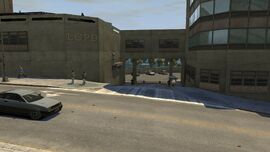
| + | *[[East Holland Police Station]] <small>(between [[San Juan Road]] and [[Topaz Street]])</small> |
||
| + | *[[GetaLife Building]] <small>(within the [[Grand Easton Terminal]] complex)</small> |
||
| + | *[[Grand Easton Terminal]] <small>(between [[Jade Street]] and [[Hematite Street]])</small> |
||
| + | *[[Middle Park East Police Station]] <small>(corner of [[Obsidian Street]])</small> |
||
| + | *[[Panoramic Towers]] <small>(corner of [[Lorimar Street]])</small> |
||
| + | *[[Zirconium Building]] <small>(corner of [[Jade Street]])</small> |
||
| + | |||
| + | <gallery position="center" spacing="small"> |
||
| + | BismarckAvenueBuilding-GTAIV.jpg|[[Bismarck Avenue Building]], [[Easton]] |
||
| + | CleethorpesTower-GTAIV.jpg|[[Cleethorpes Tower]], [[Hatton Gardens]] |
||
| + | GetaLifeBuilding-GTAIV.png|[[GetaLife Building]], [[Easton]] |
||
| + | StateBuilding-GTAIV.png|[[State Building]], [[East Holland]] |
||
| + | ZirconiumBuilding-GTAIV.png|[[Zirconium Building]], [[Lancet]] |
||
| + | </gallery> |
||
| + | <gallery position="center" spacing="small"> |
||
| + | ColumbusCathedral-GTAIV.png|[[Columbus Cathedral]], [[Hatton Gardens]] |
||
| + | LancetHospitalCenter-GTAIV.png|[[Easton Medical Center]], [[Lancet]] |
||
| + | EastHollandPoliceStation-GTAIV.png|[[East Holland Police Station]], [[East Holland]] |
||
| + | GrandEastonTerminal-GTAIV.png|[[Grand Easton Terminal]], [[Easton]] |
||
| + | MiddleParkEastPoliceStation-GTAIV.png|[[Middle Park East Police Station]], [[Middle Park East]] |
||
| + | </gallery> |
||
| + | |||
| + | ==Notable Businesses== |
||
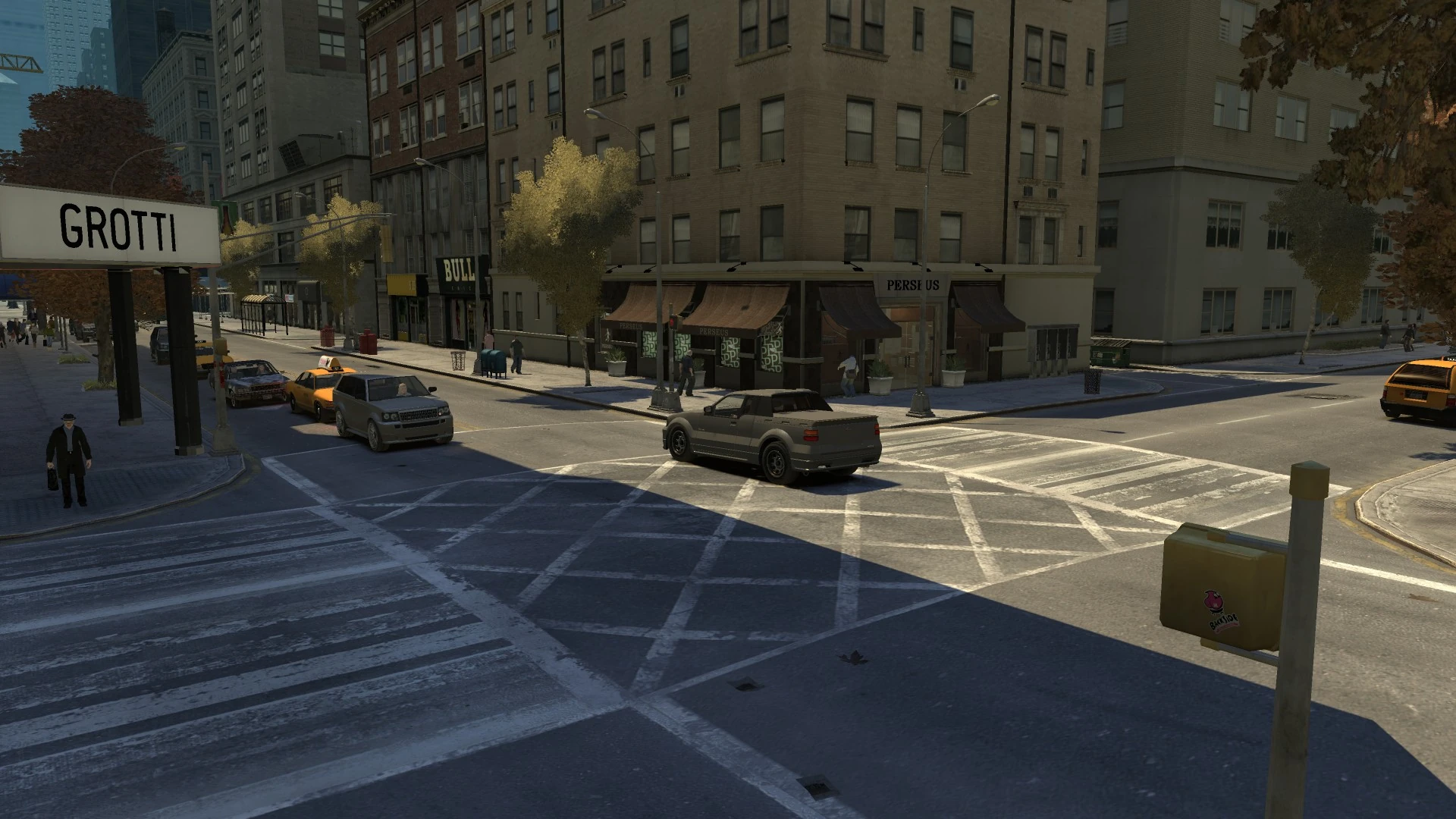
| + | *[[Perseus]] <small>(corner of [[Pyrite Street]])</small> |
||
| + | *[[The Libertine Hotel]] |
||
| + | *[[Rimmers]] |
||
| + | *[[Superstar Café]] |
||
| + | *[[Bull Emic]] |
||
| + | *[[S1ZER0]] |
||
| + | *[[Underground Gun Shops]] |
||
| + | |||
| + | ==Collectibles== |
||
| + | *One [[Grenade]] - Located between [[Calcium Street]] and [[Diamond Street]] |
||
| + | *One [[Armor]] - Located between [[Manganese Street]] and [[Nickel Street]] |
||
| + | *One [[Flying Rats|Flying Rat]] |
||
| + | *Two [[Health|First Aid Kits]] |
||
| + | **One located between [[Garnet Street]] and [[Hematite Street]]. |
||
| + | **Another located between [[Jade Street]] and [[Kunzite Street]]. |
||
| + | *An [[NRG-900]] can be found for [[Stevie's Car Thefts]] near the intersection with [[Topaz Street]] |
||
| + | |||
| + | ==Prominent Appearances in Missions== |
||
| + | ===''Grand Theft Auto IV''=== |
||
| + | *The avenue is mentioned during [[Blood Brothers]]. |
||
| + | |||
| + | ==Gallery== |
||
| + | <gallery position="center" spacing="small" widths="270px"> |
||
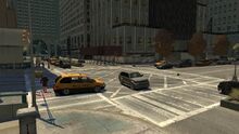
| + | Getalife-building.jpg|Another view of '''Bismarck Avenue''' from the south, looking towards the [[GetaLife Building]] and [[Grand Easton Terminal]]. |
||
| + | BismarckAve_GTACW.jpg|'''Bismarck Avenue''' in ''[[Grand Theft Auto: Chinatown Wars]]''. |
||
| + | </gallery> |
||
==Trivia== |
==Trivia== |
||
| − | *Bismarck Avenue is misspelled as "Bismark" in the mission [[Blood Brothers]] when mentioned by [[Francis McReary]] and the subtitles are on. |
+ | *Bismarck Avenue is misspelled as "Bismark" in the mission [[Blood Brothers]] when mentioned by [[Francis McReary]] and the subtitles are on.{{fact}} |
| + | *Like other avenues of [[Algonquin]], Bismarck Avenue is named after a state capital of the [[United States]], specifically {{WP|Bismarck}}, {{WP|North Dakota}}. |
||
| − | *The name of the street could be named after numerous things: |
||
| − | **[[wp:Otto von Bismarck|Otto von Bismarck]], the first chancellor of [[wp:German Empire|Imperial Germany]]. |
||
| − | **The WWII German (under the Nazi Regime) war ship, the [[wp:German battleship|Bismarck]] (which was destroyed by the British). |
||
| − | **[[wp:RMS Majestic (1914)|RMS Majestic]], commonly known as ''SS Bismarck.'' |
||
| − | **Numerous towns and cities across the USA, including the [[wp:Bismarck, North Dakota|state capital]] of [[wp:North Dakota|North Dakota]]. |
||
| − | == |
+ | ==References== |
| − | {{ |
+ | {{Reflist}} |
| + | ==Navigation== |
||
| ⚫ | |||
| + | {{Navboxes |
||
| + | |title = Navigation |
||
| + | |list1 = {{gtaiv roads|state=collapsed}} |
||
| ⚫ | |||
[[es:Bismarck Avenue]] |
[[es:Bismarck Avenue]] |
||
| − | [[Category:Streets]] |
+ | [[Category:Streets|Avenue, Bismarck]] |
| − | [[Category:Streets in |
+ | [[Category:Streets in GTA IV|Avenue, Bismarck]] |
| − | [[Category:Streets in GTA IV]] |
+ | [[Category:Streets in GTA IV in Algonquin|Avenue, Bismarck]] |
| + | [[Category:Streets in GTA Chinatown Wars]] |
||
| + | [[Category:Locations]] |
||
| + | [[Category:Locations in GTA IV]] |
||
| + | [[Category:Locations in GTA Chinatown Wars]] |
||
| + | [[Category:Locations in GTA IV in Algonquin]] |
||
| + | [[Category:Locations in GTA Chinatown Wars in Algonquin]] |
||
Revision as of 11:40, 15 March 2019
Bismarck Avenue is an avenue in Grand Theft Auto IV and Grand Theft Auto: Chinatown Wars, located in Algonquin, Liberty City.
Description
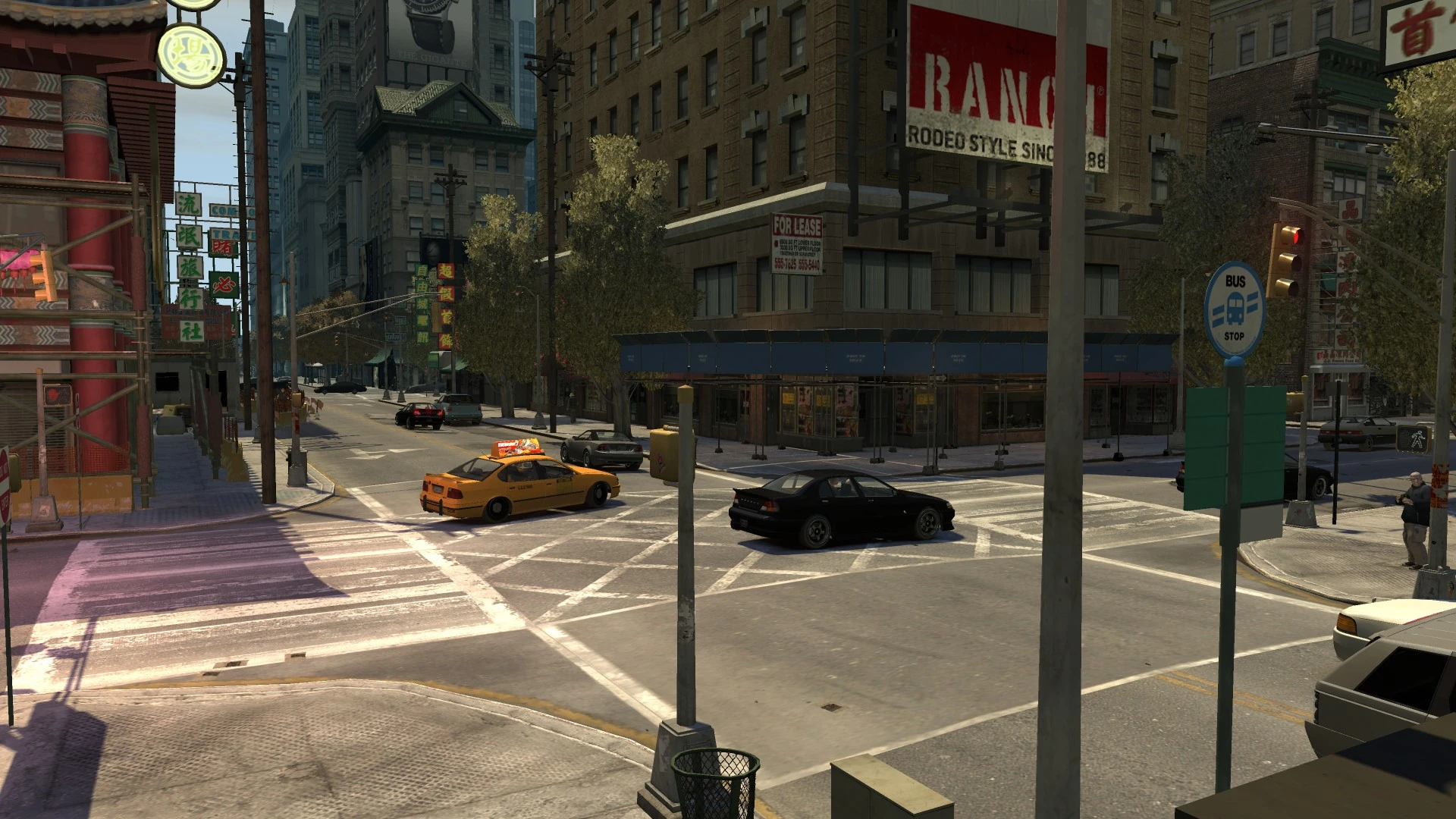
The avenue starts in the north at an intersection with Vauxite Street, Walnut Way and San Juan Road in East Holland, and runs directly south, passing through the areas of Lancaster, Middle Park East, Hatton Gardens, Lancet, Easton, Lower Easton, Chinatown and coming to an end at an intersection with South Parkway running along the edge of The Exchange and Castle Gardens.

View of Grand Easton Terminal from the south with the GetaLife Building looming over it.
Along the road are various landmarks, buildings and features, including Cleethorpes Tower, Columbus Cathedral, Zirconium Building, Grand Easton Terminal and GetaLife Building. It also runs past an intersection with Kunzite Street which connects to the Algonquin Bridge.
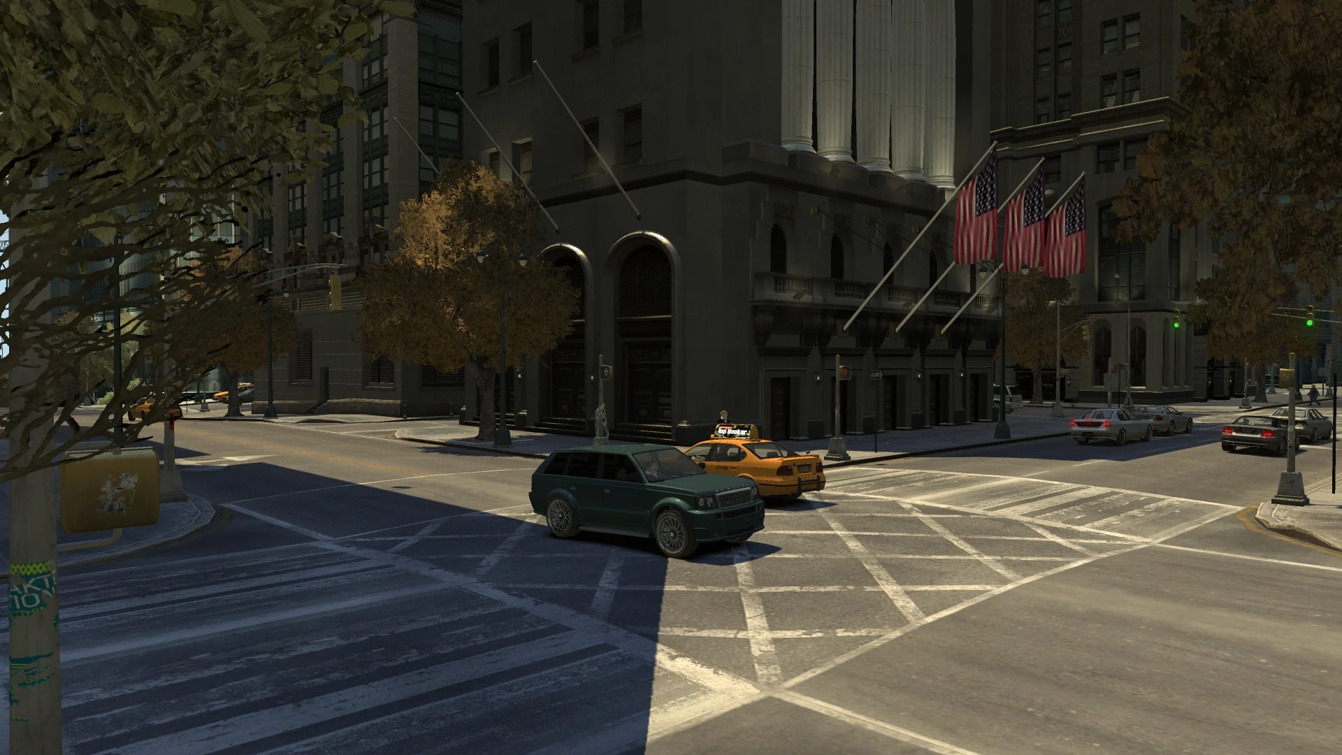
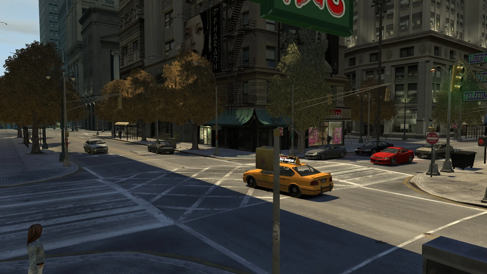
At the northern end of the road, the avenue has has access to the west entrance of the East Holland Police Station. After the intersection at Manganese Street adjacent to the Columbus Cathedral, the road is divided in two with decorative trees running down the center of the road, akin to the real-life Park Avenue in New York City along this particular stretch. This continues until reaching the north side of the Grand Easton Terminal where a large sculpture presents the termination of the road on Jade Street. The road continues almost completely inline at the other side of the station on Hematite Street. At Emerald Street, the road once again shifts slightly east continuing on through Chinatown toward The Exchange where it terminates on a steep slope at South Parkway. The road continues onto Flatfish Place.
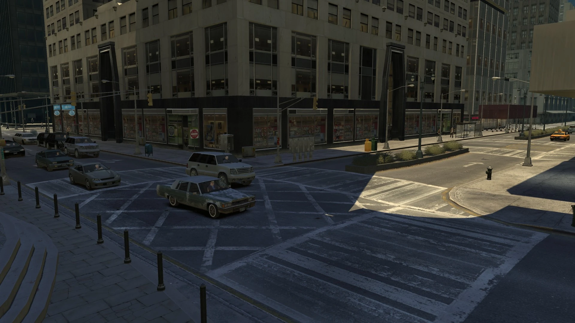
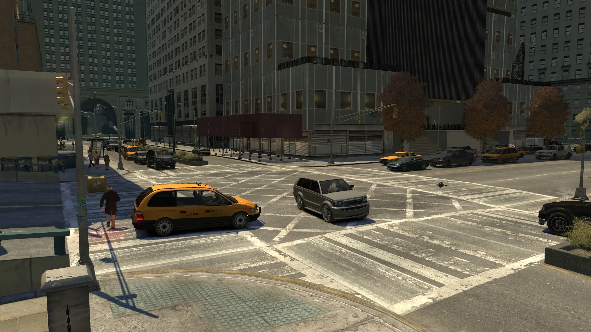
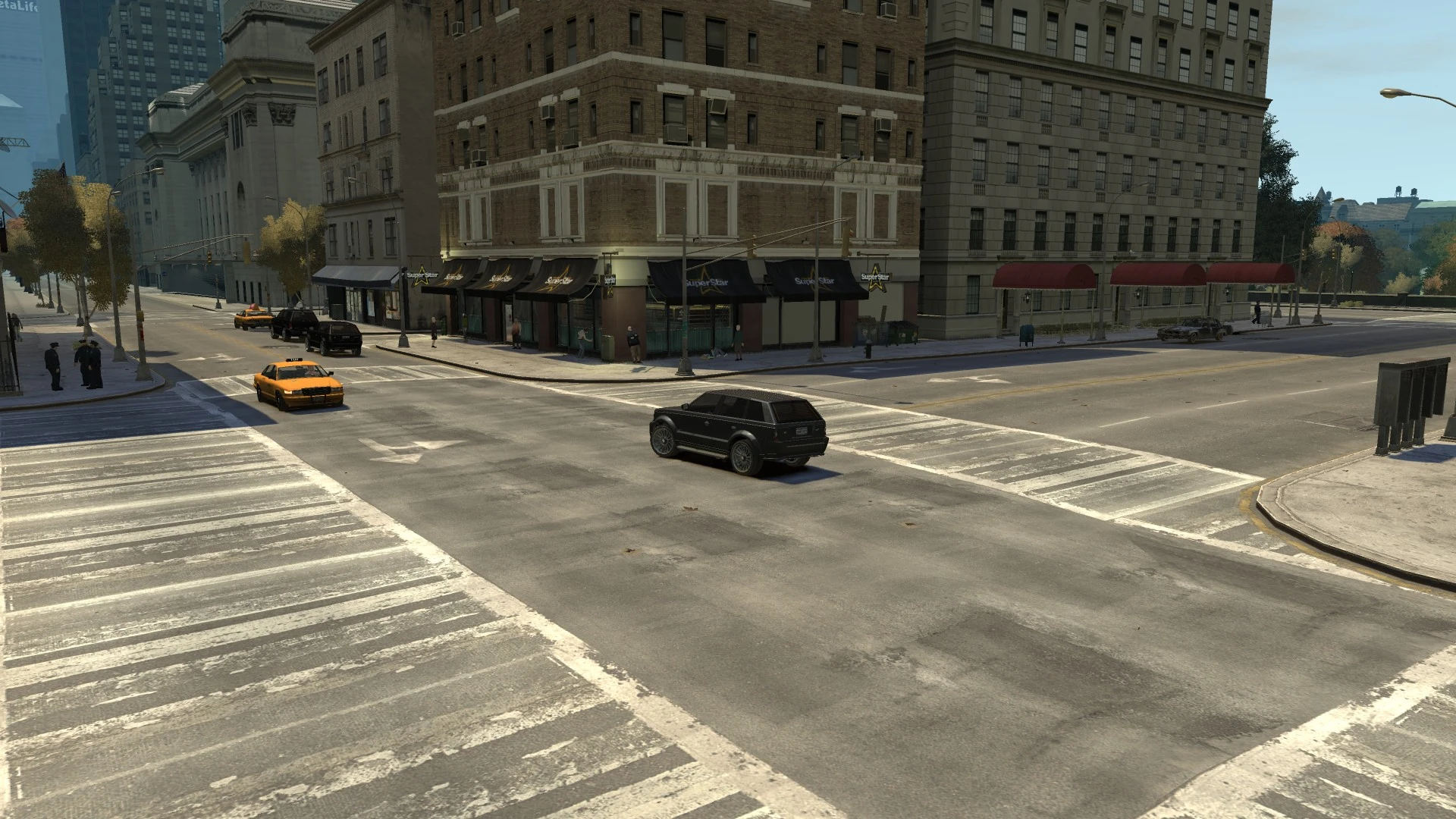
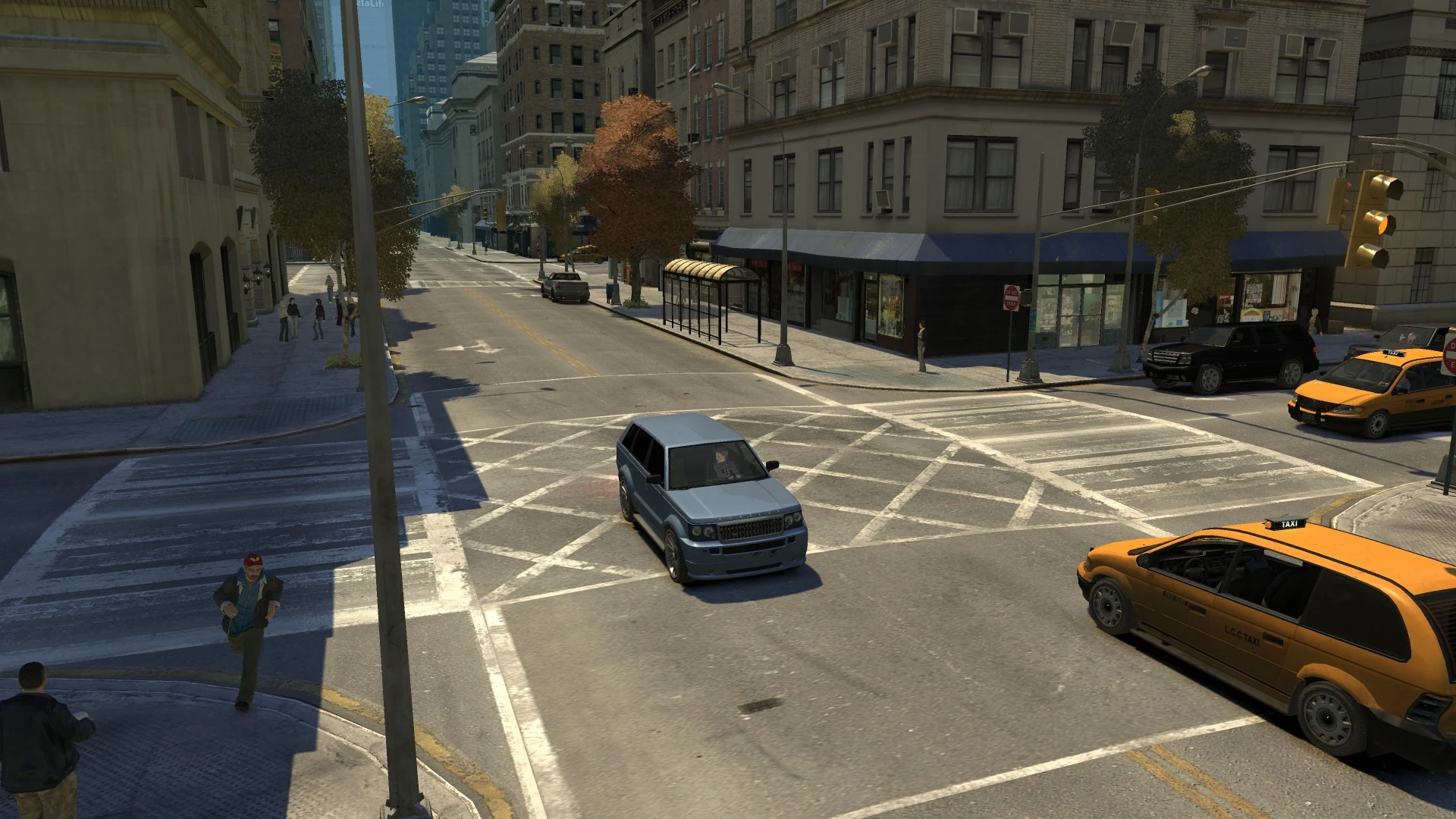
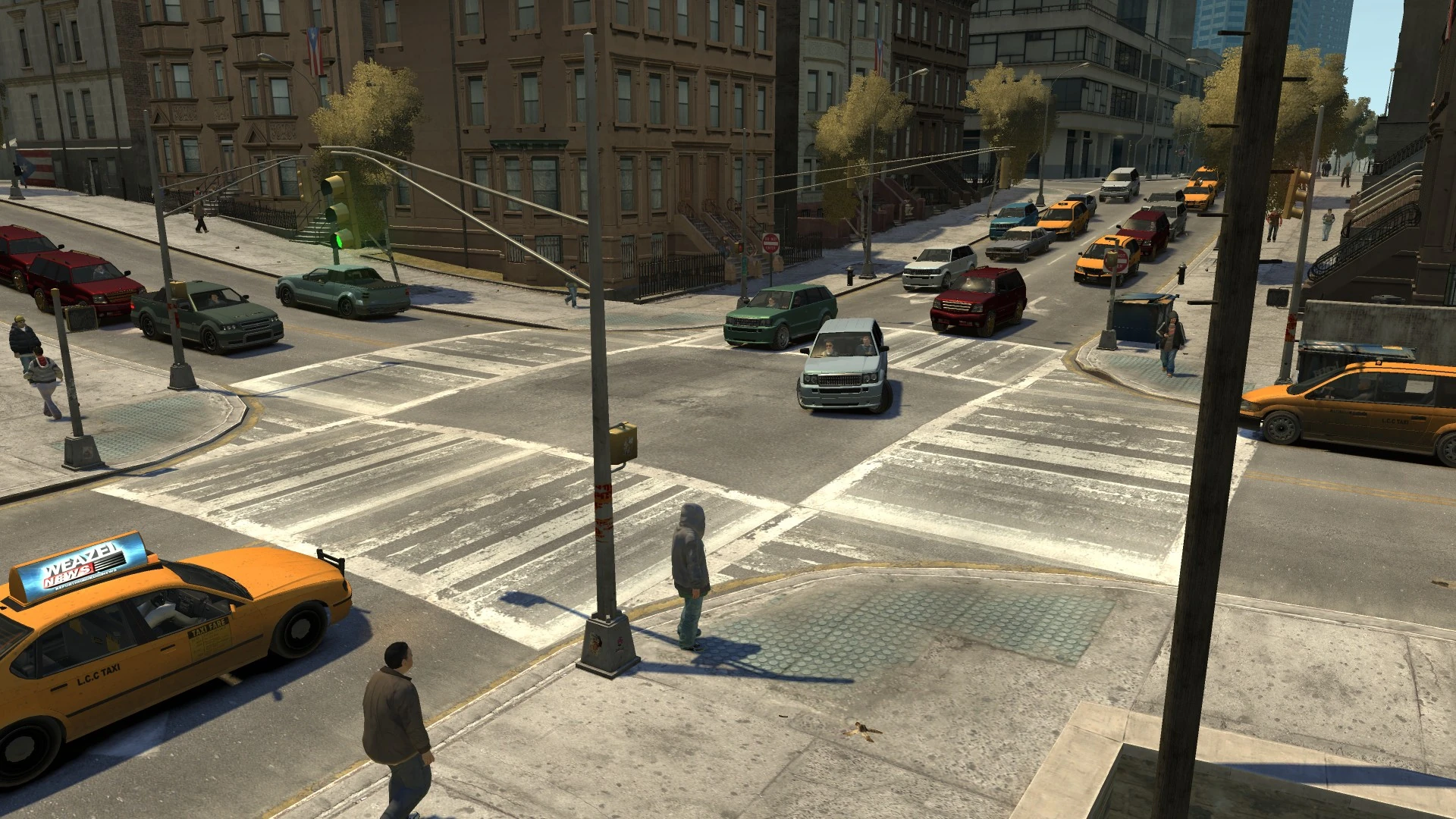
The entire street is a 2-lane road flowing in both directions and connects to 23 streets - almost all horizontal streets of the Algonquin alphabetical system, namely A, B, C, D, E, F, G, H, J, K, L, M, N, O, P, Q, R, S and T, U and V, missing out letter I, and falling short of W and X.
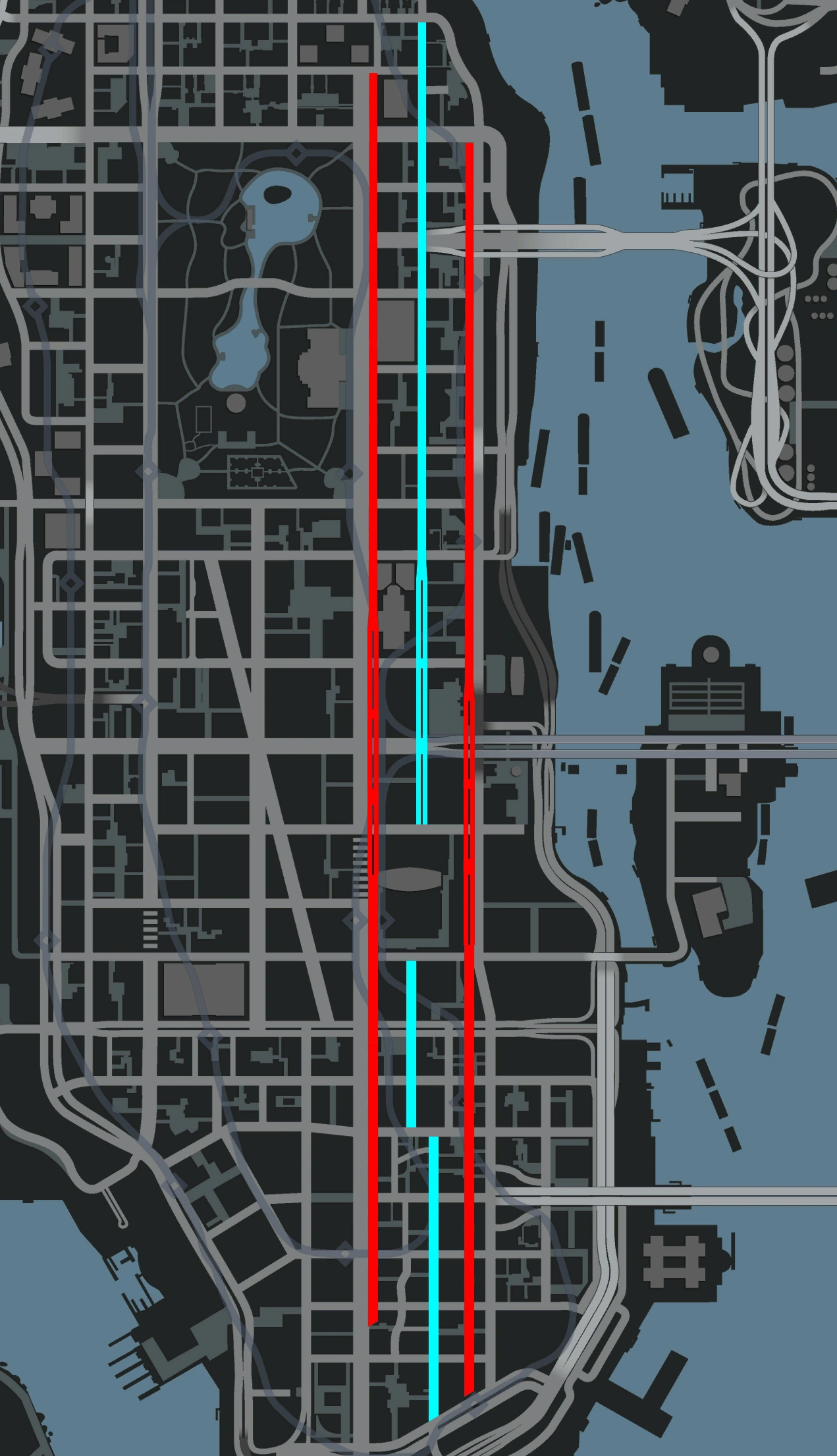
While its stretch is technically longer than both Albany Avenue and Columbus Avenue - the second and first longest, respectively, Bismarck Avenue is broken up into 3 "sections" and, even when combined, only places third.[1]
It is likely based on Manhattan's Park Avenue, given where it passes through, particularly in the Lower Easton area of Algonquin, which appears to be based on Park Avenue's notable Grand Central Terminal stretch.
Intersections


Landmarks
- Bismarck Avenue Building (on Jade Street)
- Cleethorpes Tower (between Nickel Street and Manganese Street; entrance on Columbus Avenue)
- Columbus Cathedral (between Manganese Street and Lorimar Street; entrances on Columbus Avenue)
- Easton Medical Center (between Jade Street and Algonquin Bridge)
- East Holland Police Station (between San Juan Road and Topaz Street)
- GetaLife Building (within the Grand Easton Terminal complex)
- Grand Easton Terminal (between Jade Street and Hematite Street)
- Middle Park East Police Station (corner of Obsidian Street)
- Panoramic Towers (corner of Lorimar Street)
- Zirconium Building (corner of Jade Street)
")
")
")
")
")
")
")
")
")
")
Notable Businesses
- Perseus (corner of Pyrite Street)
- The Libertine Hotel
- Rimmers
- Superstar Café
- Bull Emic
- S1ZER0
- Underground Gun Shops
Collectibles
- One Grenade - Located between Calcium Street and Diamond Street
- One Armor - Located between Manganese Street and Nickel Street
- One Flying Rat
- Two First Aid Kits
- One located between Garnet Street and Hematite Street.
- Another located between Jade Street and Kunzite Street.
- An NRG-900 can be found for Stevie's Car Thefts near the intersection with Topaz Street
Prominent Appearances in Missions
Grand Theft Auto IV
- The avenue is mentioned during Blood Brothers.
Gallery
")
")
Trivia
- Bismarck Avenue is misspelled as "Bismark" in the mission Blood Brothers when mentioned by Francis McReary and the subtitles are on.[citation/verification needed]
- Like other avenues of Algonquin, Bismarck Avenue is named after a state capital of the United States, specifically Bismarck, North Dakota.
References
- ↑


A comparison between Bismarck Avenue and other avenues in length. Blue illustrates the original stretch of Bismarck Avenue, while red indicates a "compressed" stretch (excluding gaps), placed next to Columbus Avenue (left) and Albany Avenue (right) for comparison in length.